Högalp Map | HEMAVAN 1:25,000
Högalp Map | HEMAVAN 1:25,000
Available in store in Åre
Shipping every weekday

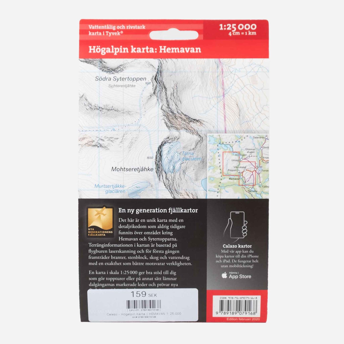
Calazo Högalp Map | HEMAVAN 1:25,000
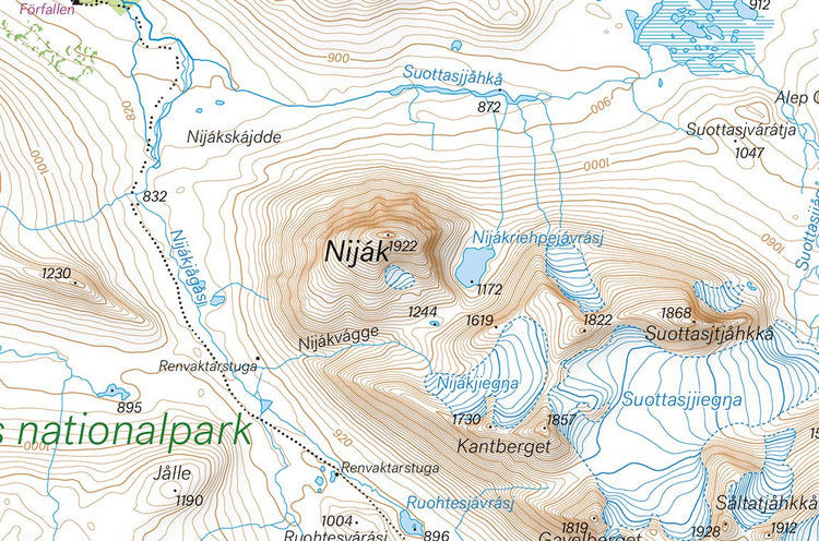
This is a unique map with a level of detail that has never before been found over the area around Hemavan and the Sytertopparna peaks. The terrain information in the map is based on airborne laser scanning. For the first time, steep slopes, larger rocks, forests and watercourses appear with an accuracy that truly corresponds to reality. The current extent of the glaciers has been produced in collaboration with the Department of Physical Geography at Stockholm University.
A map at a scale of 1:25,000 provides good support for those who go on summit tours, glacier hikes or otherwise leave the marked trails of the valleys and try new routes at higher altitudes.
We have found that the best material for a map is Tyvek®. It is made of a synthetic fiber that makes the map completely insensitive to water and very tear-resistant. A Tyvek map will not tear at the folds or lose its color when you use it.
Calazo
Calazo gör kartor och böcker för dig som gör toppturer, glaciärvandringar eller på annat sätt följer färdvägar på högre höjd. Deras högalpina kartor har en detaljrikedom som aldrig tidigare funnits över något område i svenska fjällen.
Teknik i alla ära, men att ha fysiska kartor med på fjället är fortfarande länken mellan liv och död i vissa lägen, och än så länge saknar i alla fall vi batterier som klarar kylan på fjället.